Booking choice: The On Top of Bergen hike (4 hours). Book this Tour details
You do not need the funicular to reach Fløyen. The walk from the city station to the top is about 3 km and takes about 45 minutes, by Fløibanen's own count (floyen.no); the tourist board says 45 minutes to an hour. It is free, signposted and steep at the start.
Below: where the routes start, which one to pick, how long the way down takes, and how to walk further once you are up.
The quick answer
Walk up in about 45 minutes to an hour: start behind the city station, climb past Skansedammen to Fjellveien, then take the Fløysvingene route, the quickest, or the Tippetue route for views to the north. Walking down takes about 40 minutes to an hour on gravel and asphalt. Most people ride up and walk down.
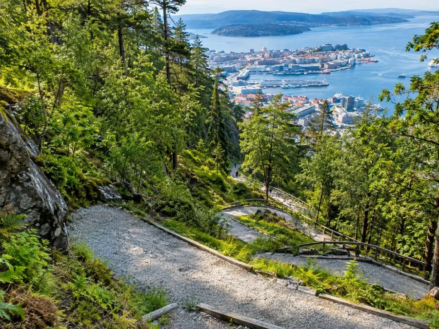
How long does it take to walk up Mount Fløyen?
About 45 minutes to an hour for roughly 3 km from the city station. Fit walkers do it faster; with children or photo stops, allow longer.
The climb from the harbour to the top station is about 300 metres, and much of it comes early, on the lanes and hairpins above the centre. Once you reach Fjellveien, the paths are gravel and the gradient eases into long bends through the forest. Bring water and a layer: Fløibanen warns that weather on the mountain changes fast.
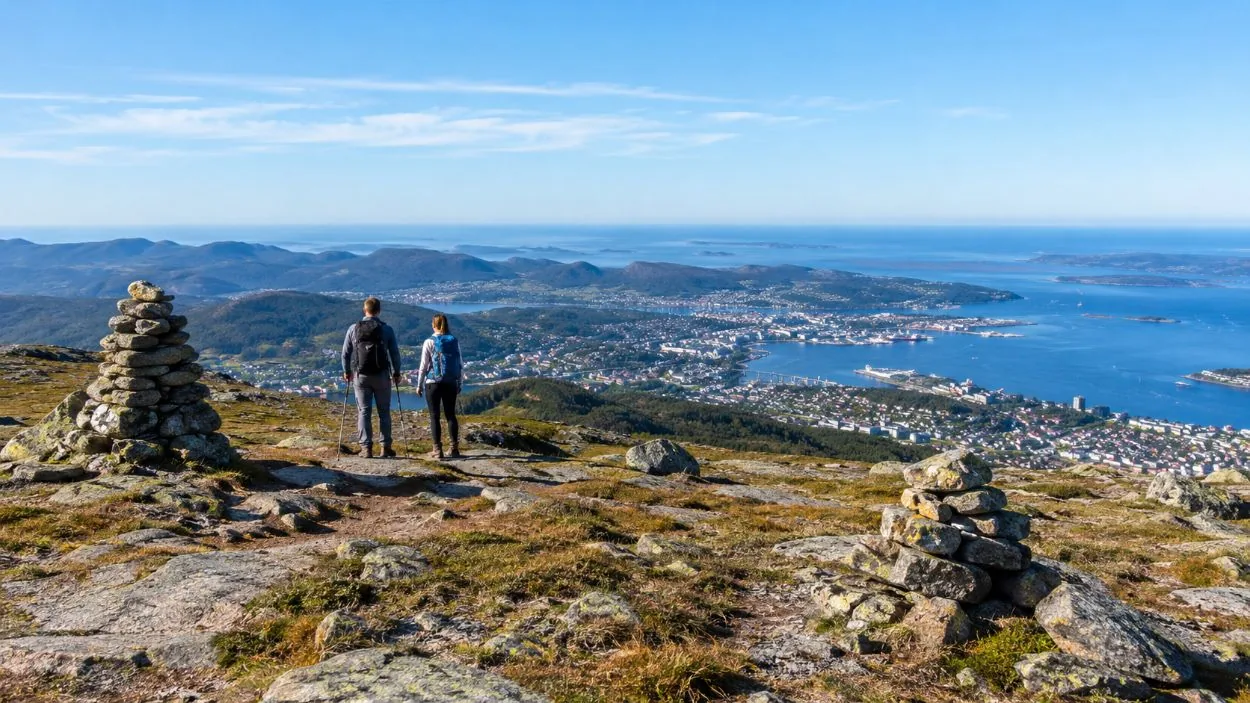
Keep going past the top with a mountain guide: open ridges, 4 to 9 km and a snack at a viewpoint.
Book thisHow do I hike to Mount Fløyen?
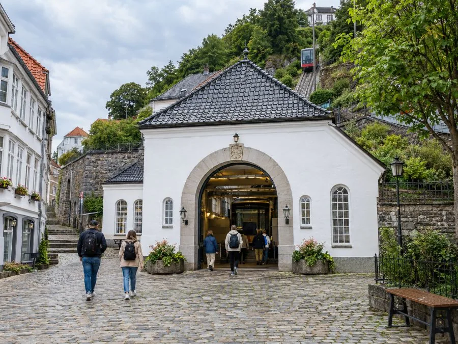
Start at the city station on Vetrlidsallmenningen, follow the winding road behind it past the Skansedammen pond up to Fjellveien, then pick one of three signposted routes to the top.
Every route shares the first part (Visit Norway). Behind the station a road zigzags up between wooden houses to Skansen, where you pass the pond at Skansedammen and the old white fire station. Above it is Fjellveien, the level road that runs along the mountainside. The drinking fountain on Fjellveien, about 200 metres north of the Fjellveien funicular stop, is where the routes split.
| Route | From Fjellveien | Surface | Why take it |
|---|---|---|---|
| Fløysvingene | Steep from the drinking fountain, right at the first junction, left at Skansemyren | Mostly gravel | The quickest way up |
| Tippetue | Just above Fjellveien, keep right from the fountain | Mostly gravel | Views over Ytre Sandviken and Byfjorden |
| Kammen via Skansemyren | Paved road up from the Fjellveien stop, past the sports ground | Paved | Views of Ulriken and southern Bergen |
Which route up Fløyen is the fastest?
Fløysvingene. It climbs almost straight up from the Fjellveien drinking fountain and meets the signposted path to the top at Skansemyren.
Take a right at the first junction, then a left at the Skansemyren funicular stop and follow the signs. It is mostly gravel, steep in places, and busy with locals on their evening walk. Above Skansemyren the road to the top is closed to cars by a barrier; only vehicles with a city permit drive up.
What is the Tippetue route?
The scenic northern route. It branches off just above Fjellveien, looks out over Ytre Sandviken and Byfjorden, and rejoins Fløysvingene at Pilen, about five minutes below the top station.
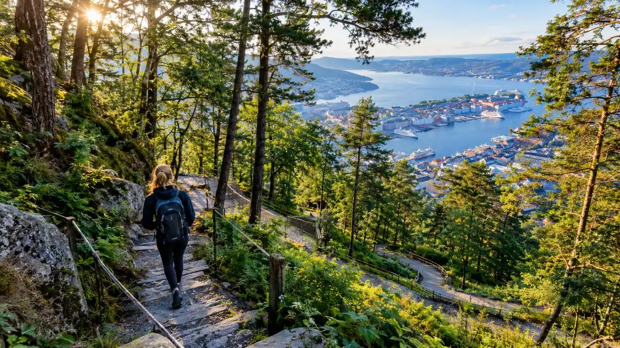
From the drinking fountain keep right at the first junction. The path climbs in a long series of hairpins, so the gradient stays kind even though the height comes quickly. It is our pick for the way up if you have the extra few minutes: the views open to the north and the sea, a side of Bergen most visitors never see.
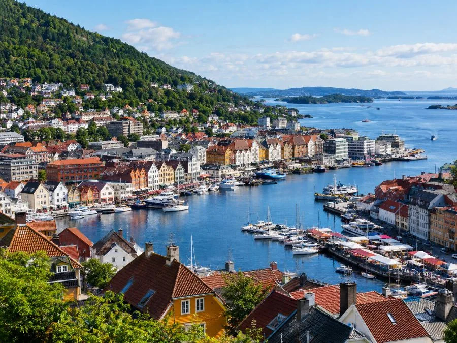
Can you walk down from Bergen Funicular?
Yes, and it is the best way to do it. Buy a one-way ticket, ride up, and walk back to the centre in about 45 minutes to an hour.
Coming down, the routes are the same in reverse and the way is signposted. The tourist board describes the descent as easy to follow and suitable for all ages, with benches at the viewpoints. Near the bottom you pass the spot where the two funicular cars meet, a good photo, and finish at Skansedammen above the old town.
Short on time or legs? Ride down to the Fjellveien stop and walk only the last part. Fjellveien itself is a fine level walk along the mountainside, with the city below you the whole way.
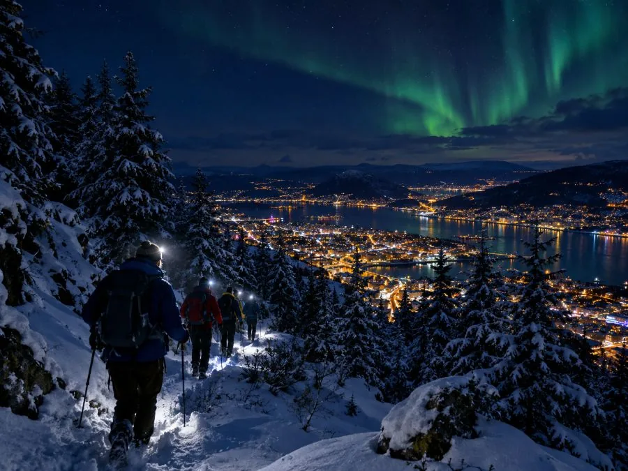
In winter, walk down in the dark: up by funicular, then down through the forest by headlamp, with spikes and a warm drink provided.
Book this Tour detailsHow long does it take to walk down Fløyen?
About 40 minutes to an hour. The surface is gravel or asphalt, so prams and buggies manage, but the top can be icy in winter.
Fløibanen counts about 45 minutes for the 3 km; the tourist board says about an hour. Downhill on gravel is hard on the knees after a long day, so take it slow on the steep lanes at the bottom. In winter, spikes on your shoes make a real difference near the top, and you can also ride down to Fjellveien and walk from there.

Is the walk up Fløyen hard?
Moderate. The first lanes are steep and the paths above are gravel, but there is no scrambling and plenty of benches. Anyone used to walking hills will manage.
- Shoes: trainers are fine in summer. In wet weather or winter, wear something with grip.
- Weather: bring a rain jacket and a warm layer even on a sunny day.
- Dogs: welcome, on a lead on the trails all year.
- Toilets: free at the top, behind Fløistuen café, under Fløirestauranten and at Skomakerstuen by the lake.
Walk with a guide who knows every path: a short forest walk from the top and a hammock session.
Book thisCan you hike further from Fløyen?
Yes. Fløyen has the most marked trails of Bergen's seven mountains: Lake Skomakerdiket in 10 minutes, Brushytten in 2.5 to 3 hours there and back, and Vidden to Ulriken in a long day.
The walk to the Brushytten cabin is easy, not too steep and fine with a pram (Visit Bergen). Further on, the trails climb to Rundemanen and the open plateau. Vidden, the high route between Ulriken and Fløyen, is about 13 km; Fløibanen says to plan at least 5 to 6 hours and most people walk it from Ulriken to Fløyen for more downhill. See Fløyen or Ulriken for the details.
For a guided version, the On Top of Bergen hike covers 4 to 9 km behind Fløyen, and the cabin hike walks to a private 100-year-old cabin near Rundemanen. Hiking maps are sold at the ticket office by the city station.
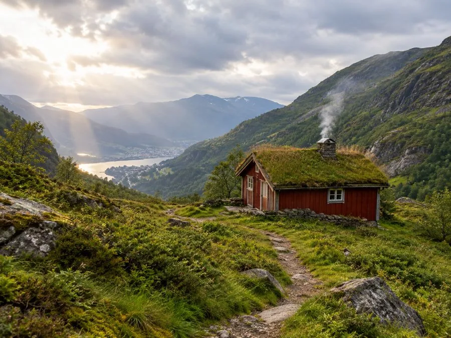
A fire, a hot drink and lunch in a private cabin that is not open to the public, with return funicular tickets included.
Book this Tour detailsFrequently asked questions
Is walking up Fløyen free?
Yes. The paths and roads are public and you pay nothing unless you ride the funicular.
Can you walk up Fløyen with a pram?
The gravel and asphalt routes work with a sturdy pram, but the climb is steep. Most families ride up and walk down, and the walk to Brushytten is pram-friendly.
Is the Fløyen walk lit at night?
Not reliably. In the dark, carry a headlamp, or join the guided winter night hike, which provides one.
Where does the walk up Fløyen start?
Behind the Fløibanen city station on Vetrlidsallmenningen. Follow the road up past Skansedammen to Fjellveien, where the signposted routes to the top begin.
Ready to book
Choose your tour
Free cancellation up to 24 hours before on every option.
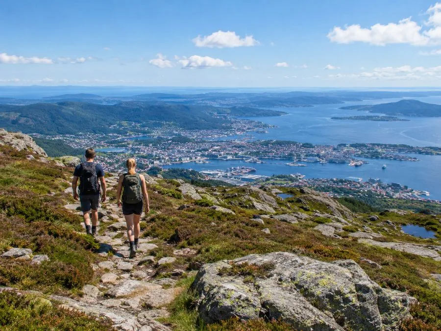
Guided Mountain Hike On Top of Bergen
- Mountain guide (English or Norwegian)
- A small Norwegian snack, food and water
- Medium difficulty, 4 to 9 km
Mountain Hike to a Traditional Cabin
A hike to a 100-year-old private cabin, fire and lunch
Winter Night Hike with Headlamps
Up by funicular, down by headlamp, spikes provided